We’ve recently created a new web page for this trail, so come and check it out. It’s at https://trailbetweenthelakes.org/, which should be easy to remember! It’s a 28-mile trail in the Sabine National Forest between Sam Rayburn and Toledo Bend Reservoirs.
It’s useful information is in five sections. The first “Overview” section includes links to other websites that describe the trail, including an article about Texas’s top ten trails. It also has links to trip reports on blogs or YouTube.
Second is “Planning” which explains everything you might want to know about the trail, from the best time to visit, whether any permits are needed (they are not), shuttling options, local shops, guided hikes, camping opportunities (a great variety!), and information about water.
The third section is about maps. The site hosts up to date downloadable PDF maps of the trail, provides pointers to the best online maps from Avenza and AllTrails, and other information like where the Forest Service compartments are.
A fourth section is about getting on the trail: hiking. While it suggests hikes of various distances, it’s also possible to create your own itinerary. While there are not any official loops, the terrain variety means that during an out-and-back hike, you might not recognize much when returning to your car! The trail is great for one-mile hikes, multi-day backpacking trips (a thruhike of 27 miles, or a yo-yo of 56 miles), and trail running.
The fifth section is about volunteering. The trail is maintained through the work of volunteers, and any help is welcomed and keeps the trail usable. This can be as simple as picking up small branches across the trail as you hike, or any litter that you might see (though this is rare). For those more interested in sawing, the storms give plenty of opportunity for cutting larger logs, whether you use a handsaw, a bowsaw, or a chainsaw. If you just want to enjoy a walk, sending in a photo with the location of any obstacle across the path helps the volunteers respond quickly. There has been tremendous effort by the volunteers in the last few months, so the trail is in great shape. If you previously visited and were put off by fallen trees or long grass or poor signage, now would be a great time to give it another look.
Finally, there is a contact page if you want to reach out for anything specific.
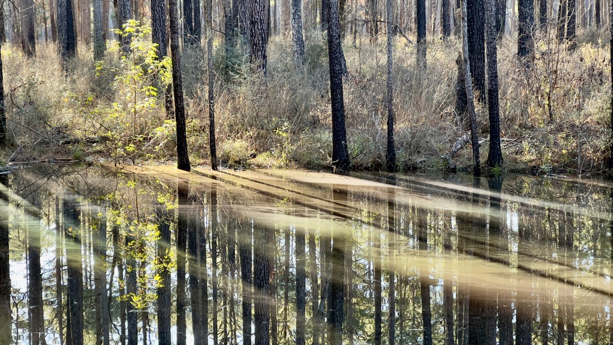
You will be surprised at how remote and isolated you will feel in this part of East Texas. This is not a national or city park trail, so while shorter hikes from the trailheads would be classified as “easy,” crossing creeks, even when dry, makes it more interesting. You are also unlikely to see anyone else on the trail, but if you do, you will be welcomed. We don’t expect many to complete the whole trail in just over five hours, like a trail runner recently did, setting a new record. Though if you want to beat that record, we all would love to help you!
If you have any questions’ don’t hesitate to reach out via the contact page, or by posting a question below.
